Tornadoes Expected Tonight On the South Plains
Preparations should be made if you have vehicles or property outside that you do not want to be damaged by severe weather today/tonight (Tuesday, May 7th and Wednesday, May 8th).
The National Weather Service in Lubbock has issued a significant severe weather statement:
"The combination of warm and humid low level air combined with colder temperatures aloft will contribute to moderate to extreme instability during the afternoon and evening hours. With strong wind shear also present, widespread and intense severe storms are likely with 70-80 mph winds and destructive 2-3 inch hail (baseball size) likely. Also several tornadoes are possible including strong EF2 or higher tornadoes."
NOAA's Storm Prediction Center has placed the South Plains in an area where enhanced to moderate probability exists for tornado outbreak.
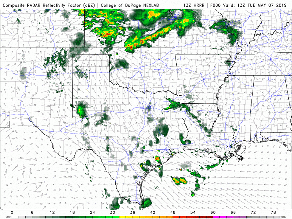
The latest high-res model solution suggests that storms will begin to develop along the Texas/New Mexico state line this afternoon around 4 p.m. and move eastward through the evening, possibly reaching Lubbock county by 7 p.m. Storms will continue to have the potential to develop into supercells with increasing strength as they push across the South Plains into Oklahoma.
More From Lonestar 99-5 FM